| ©The Archaeological Settlements of Turkey - TAY Project | ||||||
|
|
||||||
Levzin Höyük |
||||||
|
|
||||||
| Ages | Maps | Photos | ||||
| Neolithic |
 |
 |
||||
|
|
||||||
|
Type:
|
Mound | |||||
|
Altitude:
|
570 m | |||||
|
Diameter:
|
m- Direction: | |||||
|
|
||||||
|
Region:
|
Southeastern Anatolia | |||||
|
Province:
|
Adiyaman | |||||
|
District:
|
Besni | |||||
|
Village:
|
Yoldüzü | |||||
|
|
||||||
|
Destruction :
|
Illicit Digging - Agriculture | |||||
|
|
||||||
|
TAYEx:
|
Visited - 2/9/2001 | |||||
|
|
||||||
|
Registration State:
|
Registered For detailed registration information please refer to Turkish pages. | |||||
 |
||||||
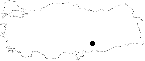
| Location: This mound-site is located southwest of the city of Adiyaman; 25 km south of the town of Besni; 1.4 km south of the village of Yoldüzü. |
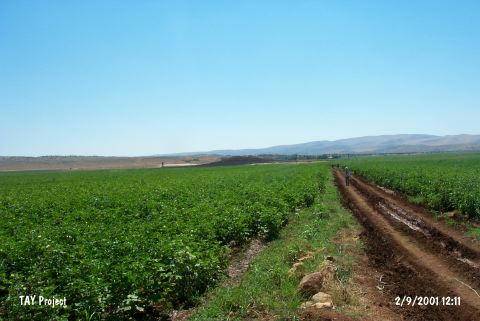
| Geography and Environment: The mound lies in the fertile Çakirhöyük (Keysun) Plain. It is approximately 5-6 m high and covers a 15 acre area. The southeastern part of the mound is lower. The surface of the mound; which is located on private property; has been leveled. |
| Destruction Details: The mound is being used as a field and its southeast slope has been damaged by illicit diggings [TAYEx 2.9.2001]. |