| ©The Archaeological Settlements of Turkey - TAY Project | ||||||
|
|
||||||
Küçüktepe |
||||||
|
|
||||||
| Ages | Maps | Photos | ||||
| Chalcolithic EBA |
 |
 |
||||
|
|
||||||
|
Type:
|
Mound | |||||
|
Altitude:
|
35 m | |||||
|
Diameter:
|
m- Direction: | |||||
|
|
||||||
|
Region:
|
Aegean | |||||
|
Province:
|
Aydin | |||||
|
District:
|
Koçarli | |||||
|
Village:
|
Çakirbeyli | |||||
|
|
||||||
|
Destruction :
|
Illicit Digging - Agriculture | |||||
|
|
||||||
|
TAYEx:
|
Visited - 21/9/2000 | |||||
|
|
||||||
|
Registration State:
|
Registered For detailed registration information please refer to Turkish pages. | |||||
 |
||||||
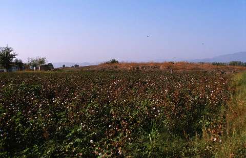
| Location: |
| Geography and Environment: |
| Destruction Details: Large illicit digger pits were observed on the surface of the mound. Its northern and southern skirts were cut for agricultural purposes. On the southwestern section is a ruined farm house; and electricity poles to the south [TAYEx 21.9.2000]. The western and south-southeastern slopes were damaged due to earth removal [Günel 2002]. |