| ©The Archaeological Settlements of Turkey - TAY Project | ||||||
|
|
||||||
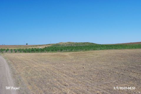
Kuzeren |
||||||
|
|
||||||
| Ages | Maps | Photos | ||||
| Chalcolithic EBA IA |
 |
 |
||||
|
|
||||||
|
Type:
|
Mound | |||||
|
Altitude:
|
1230 m | |||||
|
Diameter:
|
131 m- Direction: NE-SW | |||||
|
|
||||||
|
Region:
|
Central Anatolia | |||||
|
Province:
|
Kirikkale | |||||
|
District:
|
Merkez | |||||
|
Village:
|
Kizildere | |||||
|
|
||||||
|
Destruction :
|
Illicit Digging - Agriculture | |||||
|
|
||||||
|
TAYEx:
|
Visited - 9/7/2002 | |||||
|
|
||||||
|
Registration State:
|
For detailed registration information please refer to Turkish pages. | |||||
 |
||||||
| Location: |
| Geography and Environment: |
| Destruction Details: The mound is being damaged by agricultural activities and illicit diggings. The fields around have been extended by cutting the skirts of the mound and its northwest slope and eastern part have been leveled. There are pits filled with stone on top of the mound [TAYEx 9.7.2002]. |