| ©The Archaeological Settlements of Turkey - TAY Project | ||||||
|
|
||||||
Kursunlu / Inegöl |
||||||
|
|
||||||
| Ages | Maps | Photos | ||||
| EBA |
 |
 |
||||
|
|
||||||
|
Type:
|
Mound | |||||
|
Altitude:
|
348 m | |||||
|
Diameter:
|
m- Direction: | |||||
|
|
||||||
|
Region:
|
Marmara | |||||
|
Province:
|
Bursa | |||||
|
District:
|
Inegöl | |||||
|
Village:
|
Küçük Yenice | |||||
|
|
||||||
|
Destruction :
|
Agriculture - Contemporary Settlements | |||||
|
|
||||||
|
TAYEx:
|
Visited - 11/7/2000 | |||||
|
|
||||||
|
Registration State:
|
For detailed registration information please refer to Turkish pages. | |||||
 |
||||||
| Location: |
| Geography and Environment: |
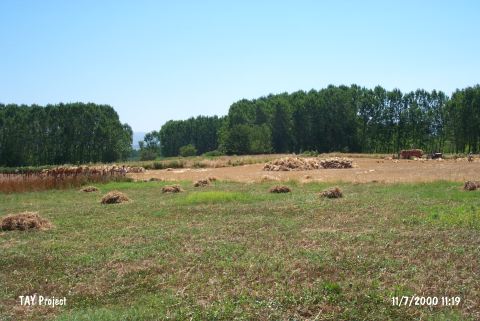
| Destruction Details: The mound has lost its height due to intense agricultural activities. A natural gas line has been passed over the mound. During this construction; channels 1.5 m in depth and 1 m in width were dug [TAYEx 11.7.2000]. |