| ©The Archaeological Settlements of Turkey - TAY Project | ||||||
|
|
||||||
Kurbanaga Magarasi |
||||||
|
|
||||||
| Ages | Maps | Photos | ||||
| Palaeolithic/Epipalaeolithic |
 |
 |
||||
|
|
||||||
|
Type:
|
Cave | |||||
|
Altitude:
|
m | |||||
|
Diameter:
|
m- Direction: | |||||
|
|
||||||
|
Region:
|
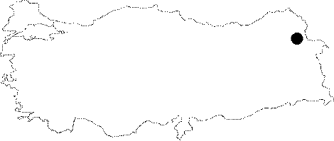
Eastern Anatolia | |||||
|
Province:
|
Kars | |||||
|
District:
|
Kagizman | |||||
|
Village:
|
Camuslu | |||||
|
|
||||||
|
|
||||||
|
|
||||||
|
TAYEx:
|
Not visited - 29/6/2003 | |||||
|
|
||||||
|
Registration State:
|
Registered For detailed registration information please refer to Turkish pages. | |||||
 |
||||||
| Location: This site is south of the city of Kars; southwest of the village of Çamuslu; a district of the town of Kötek; which is northwest of the town of Kagizman. Although we are not informed about the exact location of this cave; we know that it is on the eastern flanks of Mount Aladag; very close to Tombultepe. |
| Geography and Environment: The mouth of this cave; located about 6 km south of the Yazilikaya open-air habitation site and stele; faces south. The depth of the cave is 11.50 m; the interior width is 5.50 m while the width of the mouth is 12.50 m. The cave-art on the outer walls and on the ceiling of the cave was made by chiseling; a technique foreign to Yazilikaya. The panels depict goats; some with arrows shot into them; traps made of nets; wooden stakes and braided lassos. It is certain that these wall paintings date to the Palaeolithic. |
| Destruction Details: |