| ©The Archaeological Settlements of Turkey - TAY Project | ||||||
|
|
||||||
Koçumbeli |
||||||
|
|
||||||
| Ages | Maps | Photos | ||||
| EBA |
 |
 |
||||
|
|
||||||
|
Type:
|
Slope Settlement | |||||
|
Altitude:
|
1100 m | |||||
|
Diameter:
|
m- Direction: | |||||
|
|
||||||
|
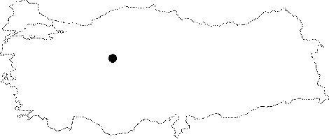
Region:
|
Central Anatolia | |||||
|
Province:
|
Ankara | |||||
|
District:
|
Merkez | |||||
|
Village:
|
Yalincak | |||||
|
|
||||||
|
|
||||||
|
|
||||||
|
TAYEx:
|
Not visited - 10/7/2002 | |||||
|
|
||||||
|
Registration State:
|
For detailed registration information please refer to Turkish pages. | |||||
 |
||||||
| Location: The settlement is located 1.5 km far from the Yalincak Village; southwest of Ankara Province. It lies within the territory of the Middle East Technical University between the Yalincak Village and Ahlatlibel settlement; some 2 km far from Ahlatlibel. |
| Geography and Environment: It is located on the slope of a hilly land not so steep. To the south lie rocks where Ahlatlibel stands on while to the west stretches out a small valley. Northern side is open and faces Ankara. Presence of fountains on the south and west exposes the abundance of water in the region. |
| Destruction Details: |