| ©The Archaeological Settlements of Turkey - TAY Project | ||||||
|
|
||||||
Kinanah |
||||||
|
|
||||||
| Ages | Maps | Photos | ||||
| Neolithic |
 |
 |
||||
|
|
||||||
|
Type:
|
Mound | |||||
|
Altitude:
|
200 m | |||||
|
Diameter:
|
m- Direction: | |||||
|
|
||||||
|
Region:
|
Mediterranean | |||||
|
Province:
|
Hatay | |||||
|
District:
|
Reyhanli | |||||
|
Village:
|
Merkez | |||||
|
|
||||||
|
Destruction :
|
Highways, roads, bridges etc. | |||||
|
|
||||||
|
TAYEx:
|
Visited - 17/7/2001 | |||||
|
|
||||||
|
Registration State:
|
For detailed registration information please refer to Turkish pages. | |||||
 |
||||||
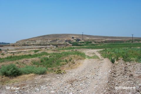
| Location: This site lies northeast of the city of Antakya; 3.3 km; as the crow flies; north of the town of Reyhanli and in the eastern part of the Amuq Plain. |
| Geography and Environment: It is located by the eastern point of lower skirts of the Kürt Mountains. Afrin Stream passes by the southern part of the mound. The old bed of Afrin Stream lies west of the site. The inhabitants of this site must have obtained their water supply from Afrin Stream because there are no other nearby water sources in this region. The alluvial soil brought by this stream is very fertile. |
| Destruction Details: Soil removed from eastern part of the mound because of the road passing in the same direction. There is 1 m high profile at this part [TAYEx 17.7.2001]. |