| ©The Archaeological Settlements of Turkey - TAY Project | ||||||
|
|
||||||
Kirmizi - Acidere Sirtlari |
||||||
|
|
||||||
| Ages | Maps | Photos | ||||
| Palaeolithic/Epipalaeolithic |
 |
 |
||||
|
|
||||||
|
Type:
|
Habitation Site / Workshop | |||||
|
Altitude:
|
m | |||||
|
Diameter:
|
m- Direction: | |||||
|
|
||||||
|
Region:
|
Southeastern Anatolia | |||||
|
Province:
|
Adiyaman | |||||
|
District:
|
Samsat | |||||
|
Village:
|
Merkez | |||||
|
|
||||||
|
Destruction :
|
Dams | |||||
|
|
||||||
|
TAYEx:
|
Not visited - 29/8/2001 | |||||
|
|
||||||
|
Registration State:
|
Registered For detailed registration information please refer to Turkish pages. | |||||
 |
||||||
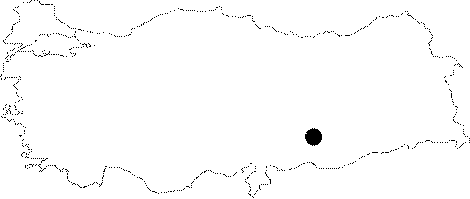
| Location: This site; now flooded by the Atatürk Dam Lake; is in the province of Adiyaman; southeast of the city center; on the ridges between the Kirmizi and Acidere streams; 3 km northwest of the district of Samsat. Its survey code is T 50 / 21. |
| Geography and Environment: Tools were found in a 3.5 km wide area; on the plains near the Euphrates and in the valleys carved by streamlets. |
| Destruction Details: The site is flooded by dam reservoir today [TAYEx 29.8.2001]. |