| ©The Archaeological Settlements of Turkey - TAY Project | ||||||
|
|
||||||
Kiranharmanyeri |
||||||
|
|
||||||
| Ages | Maps | Photos | ||||
| EBA |
 |
 |
||||
|
|
||||||
|
Type:
|
Mound | |||||
|
Altitude:
|
1245 m | |||||
|
Diameter:
|
72 m- Direction: ESE-WNW | |||||
|
|
||||||
|
Region:
|
Aegean | |||||
|
Province:
|
Kütahya | |||||
|
District:
|
Altintas | |||||
|
Village:
|
Saraycik | |||||
|
|
||||||
|
Destruction :
|
Contemporary Settlements - Attention | |||||
|
|
||||||
|
TAYEx:
|
Visited - 6/7/2004 | |||||
|
|
||||||
|
Registration State:
|
For detailed registration information please refer to Turkish pages. | |||||
 |
||||||
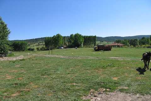
| Location: |
| Geography and Environment: |
| Destruction Details: A large amount of the mound's soil was removed and the settlement can only be seen as a 1 m high elevation [TAYEx 6.7.2004]. |