| ©The Archaeological Settlements of Turkey - TAY Project | ||||||
|
|
||||||
Kesan Mezarlik |
||||||
|
|
||||||
| Ages | Maps | Photos | ||||
| EBA |
 |
 |
||||
|
|
||||||
|
Type:
|
Mound | |||||
|
Altitude:
|
80 m | |||||
|
Diameter:
|
m- Direction: | |||||
|
|
||||||
|
Region:
|
Marmara | |||||
|
Province:
|
Edirne | |||||
|
District:
|
Kesan | |||||
|
Village:
|
Merkez | |||||
|
|
||||||
|
Destruction :
|
Other | |||||
|
|
||||||
|
TAYEx:
|
Visited - 16/6/2000 | |||||
|
|
||||||
|
Registration State:
|
For detailed registration information please refer to Turkish pages. | |||||
 |
||||||
| Location: |
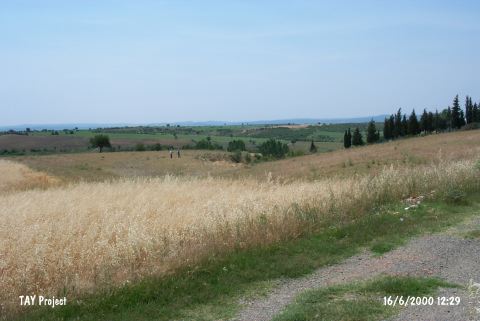
| Geography and Environment: |
| Destruction Details: The western skirts of the mound have been damaged by the paved road behind the cemetery [TAYEx 16.6.2000]. |