| ©The Archaeological Settlements of Turkey - TAY Project | ||||||
|
|
||||||
Kestel / Sarituzla Madeni |
||||||
|
|
||||||
| Ages | Maps | Photos | ||||
| Chalcolithic EBA IA 14C |
 |
 |
||||
|
|
||||||
|
Type:
|
Workshop | |||||
|
Altitude:
|
2000 m | |||||
|
Diameter:
|
m- Direction: | |||||
|
|
||||||
|
Region:
|
Central Anatolia | |||||
|
Province:
|
Nigde | |||||
|
District:
|
Çamardi | |||||
|
Village:
|
Celaller | |||||
|
|
||||||
|
|
||||||
|
|
||||||
|
TAYEx:
|
Not visited - 9/8/2002 | |||||
|
|
||||||
|
Registration State:
|
Registered For detailed registration information please refer to Turkish pages. | |||||
 |
||||||
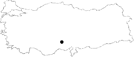
| Location: It is located on the eastern side of the Kuruçay Stream and the slope galleries (mines) on the hills stretching along the stream; 1.5-2.5 km west of the Celaller Village; 4 km southwest of the Çamardi District; 31 km southeast of the Nigde Province as the crow flies. It covers an area of pottery on the southern slope of the hill and an open air atelier for crashing ores with many pits on the C2 mines. |
| Geography and Environment: The western part of Celaller Village has a wavy appearance; separated by small streams usually drying in summer and stretching along the north-south direction. The excavations conducted in the mine; called the Kestel Deligi (Hole) by the local villagers; in 1991-1992 by British mining archaeologists yielded a very large and long gallery complex exceeding 1.5 km. It was opened to obtain both iron and tin. Tin ores in this region are in the form of quartz veins with hematite and tourmaline cutting Gneiss granite and granitized edge cuts of granite [Drahor 1993:39]. |
| Destruction Details: |