| ©The Archaeological Settlements of Turkey - TAY Project | ||||||
|
|
||||||
Kelleha Tarlasi 2 |
||||||
|
|
||||||
| Ages | Maps | Photos | ||||
| Chalcolithic |
 |
 |
||||
|
|
||||||
|
Type:
|
Flat Settlement | |||||
|
Altitude:
|
650 m | |||||
|
Diameter:
|
m- Direction: | |||||
|
|
||||||
|
Region:
|
Southeastern Anatolia | |||||
|
Province:
|
Diyarbakir | |||||
|
District:
|
Bismil | |||||
|
Village:
|
Üçkardesler | |||||
|
|
||||||
|
Destruction :
|
Agriculture | |||||
|
|
||||||
|
TAYEx:
|
Not visited - 10/9/2001 | |||||
|
|
||||||
|
Registration State:
|
For detailed registration information please refer to Turkish pages. | |||||
 |
||||||
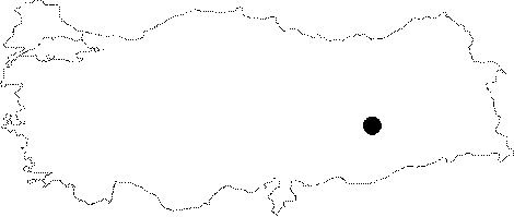
| Location: The site lies east of the centrum of Diyarbakir and the district of Bismil; just north of Üçkardesler Village. |
| Geography and Environment: The site; on a low ovoid hill; lies on the west bank of Batman Suyu Stream; on the parallel terrace. It is 1-2 m higher than the plain level; measures 110 m in North-South axis and 60 m in East-West axis. It is partially destructed by irrigation and ploughing since tobacco is cultivated on its surface. |
| Destruction Details: |