| ©The Archaeological Settlements of Turkey - TAY Project | ||||||
|
|
||||||
Kaynaklar 2 / Sülecik |
||||||
|
|
||||||
| Ages | Maps | Photos | ||||
| EBA IA |
 |
 |
||||
|
|
||||||
|
Type:
|
Mound | |||||
|
Altitude:
|
95 m | |||||
|
Diameter:
|
m- Direction: | |||||
|
|
||||||
|
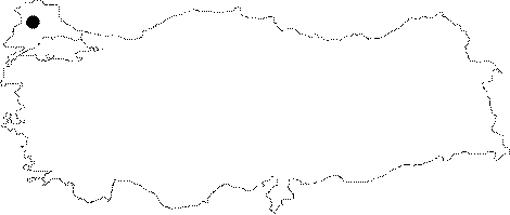
Region:
|
Marmara | |||||
|
Province:
|
Edirne | |||||
|
District:
|
Süloglu | |||||
|
Village:
|
Sülecik | |||||
|
|
||||||
|
Destruction :
|
Other - Agriculture | |||||
|
|
||||||
|
TAYEx:
|
Visited - 14/6/2000 | |||||
|
|
||||||
|
Registration State:
|
For detailed registration information please refer to Turkish pages. | |||||
 |
||||||
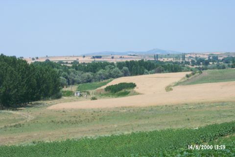
| Location: It is located 700 m west of the Yagcili-Sulecik road; 2 km north of the Yagcili Village; some 7 km northwest of the Süloglu District of the Edirne Province. |
| Geography and Environment: The settlement measures ca.150-200 m in diameter and 2 m in height. Yagcili stream; a branch of the Ogulpasa River; flows on the west side of the settlement. There is a fresh water spring next to it. A small road to the spring which cuts through the settlement and severely damaged it. The settlement of Kaynaklar I is located on the ridges to the south. |
| Destruction Details: The settlement is being planted and the agricultural destruction is very intense especially on the western slope. A tractor road passes over the western and southwestern section. The eastern section is cut by another road. On the southeastern corner there is a water depot and a hut for the water pump [TAYEx 14.6.2000]. |