| ©The Archaeological Settlements of Turkey - TAY Project | ||||||
|
|
||||||
Hydas |
||||||
|
|
||||||
| Ages | Maps | Photos | ||||
| Greek-Roman |
 |
 |
||||
|
|
||||||
|
Type:
|
City | |||||
|
Altitude:
|
m | |||||
|
Diameter:
|
m- Direction: | |||||
|
|
||||||
|
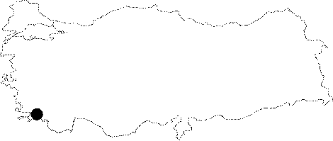
Region:
|
Aegean | |||||
|
Province:
|
Mugla | |||||
|
District:
|
Marmaris | |||||
|
Village:
|
Turgut | |||||
|
|
||||||
|
|
||||||
|
|
||||||
|
TAYEx:
|
- | |||||
|
|
||||||
|
Registration State:
|
Registered For detailed registration information please refer to Turkish pages. | |||||
 |
||||||
| Location: It can be reached through a narrow pathway from the Turgut Village to the southwest of the Marmaris District of the Mugla Province [Benter 2000:308]. |
| Geography and Environment: The city and the fortress are situated on a rocky ridge at the narrowest point of a mountain chain; which is approximately 6 km long [Benter 2000:308]. |
| Destruction Details: |