| ©The Archaeological Settlements of Turkey - TAY Project | ||||||
|
|
||||||
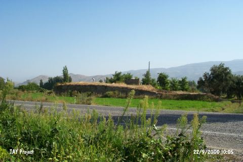
Kavaklikahve |
||||||
|
|
||||||
| Ages | Maps | Photos | ||||
| Neolithic EBA |
 |
 |
||||
|
|
||||||
|
Type:
|
Mound | |||||
|
Altitude:
|
55 m | |||||
|
Diameter:
|
m- Direction: | |||||
|
|
||||||
|
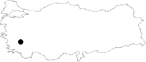
Region:
|
Aegean | |||||
|
Province:
|
Aydin | |||||
|
District:
|
Bozdogan | |||||
|
Village:
|
Kavakli | |||||
|
|
||||||
|
Destruction :
|
Agriculture - Attention | |||||
|
|
||||||
|
TAYEx:
|
Visited - 22/9/2000 | |||||
|
|
||||||
|
Registration State:
|
Registered For detailed registration information please refer to Turkish pages. | |||||
 |
||||||
| Location: |
| Geography and Environment: |
| Destruction Details: The mound has been severely damaged due to agricultural activities. Deep sections were formed on the eastern; southern; and western sections as a result of soil removal. To the south of the house on the northeastern section is a large recession which probably is an illicit digger pit [TAYEx 22.9.2000]. |