| ©The Archaeological Settlements of Turkey - TAY Project | ||||||
|
|
||||||
Beçin |
||||||
|
|
||||||
| Ages | Maps | Photos | ||||
| Greek-Roman |
 |
 |
||||
|
|
||||||
|
Type:
|
City | |||||
|
Altitude:
|
m | |||||
|
Diameter:
|
m- Direction: | |||||
|
|
||||||
|
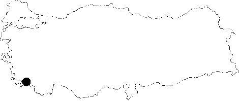
Region:
|
Aegean | |||||
|
Province:
|
Mugla | |||||
|
District:
|
Milas | |||||
|
Village:
|
Beçin | |||||
|
|
||||||
|
|
||||||
|
|
||||||
|
TAYEx:
|
- | |||||
|
|
||||||
|
Registration State:
|
Registered For detailed registration information please refer to Turkish pages. | |||||
 |
||||||
| Location: It is located at the Beçin Village; 5 km south of the Milas District of the Mugla Province [Akarca 1971:1]. |
| Geography and Environment: Founded on the projection of a plateau; 200 m high from the Milas Plain; the city is divided by a valley from both directions. The Beçin plateau opens into the Agacliyuk Plain to the south. It is very rich in water. The water was transported by aqueducts to Mylasa. The land of the plateau is not arable [Akarca 1971:25; 30]. |
| Destruction Details: |