| ©The Archaeological Settlements of Turkey - TAY Project | ||||||
|
|
||||||
Altindere / Avratlar |
||||||
|
|
||||||
| Ages | Maps | Photos | ||||
| Palaeolithic/Epipalaeolithic |
 |
 |
||||
|
|
||||||
|
Type:
|
Single Findspot | |||||
|
Altitude:
|
85 m | |||||
|
Diameter:
|
m- Direction: | |||||
|
|
||||||
|
Region:
|
Mediterranean | |||||
|
Province:
|
Hatay | |||||
|
District:
|
Merkez | |||||
|
Village:
|
Merkez | |||||
|
|
||||||
|
Destruction :
|
Contemporary Settlements - Attention | |||||
|
|
||||||
|
TAYEx:
|
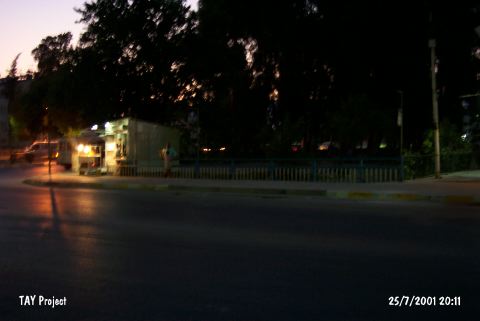
Visited - 25/7/2001 | |||||
|
|
||||||
|
Registration State:
|
For detailed registration information please refer to Turkish pages. | |||||
 |
||||||
| Location: This open-air site lies in the western section of the city of Antakya; in the fields immediately west of the Altindere/Avratlar Stream at the location called Altinçay Kapisi in Gündüz Street. |
| Geography and Environment: The Palaeolithic tools in the fields close to the Altindere Stream were found in a 1 m thick gravely and pebbly layer that lies beneath the shallow layer of topsoil. New chipped stone tools continually appear as the fields are plowed. Kansu reports that the terrace the tools are found on is approximately 13-15 m above the level of the stream near where its spanned by the bridge. This seasonal stream eventually joins the Asi River. The site has been disturbed by modern development. |
| Destruction Details: The findspot has been damaged due to contemporary settlement [TAYEx 25.7.2001]. |