| ©The Archaeological Settlements of Turkey - TAY Project | ||||||
|
|
||||||
Karayavsan |
||||||
|
|
||||||
| Ages | Maps | Photos | ||||
| EBA |
 |
 |
||||
|
|
||||||
|
Type:
|
Mound | |||||
|
Altitude:
|
1005 m | |||||
|
Diameter:
|
m- Direction: | |||||
|
|
||||||
|
Region:
|
Central Anatolia | |||||
|
Province:
|
Ankara | |||||
|
District:
|
Polatli | |||||
|
Village:
|
Karayavsan | |||||
|
|
||||||
|
Destruction :
|
Illicit Digging - Contemporary Settlements - Attention | |||||
|
|
||||||
|
TAYEx:
|
Visited - 4/7/2002 | |||||
|
|
||||||
|
Registration State:
|
For detailed registration information please refer to Turkish pages. | |||||
 |
||||||
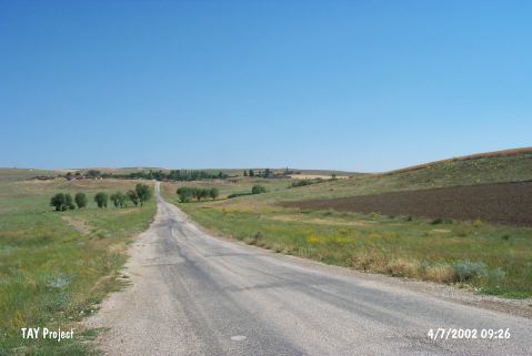
| Location: It lies next to the village it was named after; 20 km east of the Polatli District; southwest of the Ankara Province. It is situated north of the motorway running from Polatli to Haymana. |
| Geography and Environment: It is a medium sized mound; 13 m high. There is a low terrace on the eastern side. |
| Destruction Details: A large amount of soil taken from the mound due to make mudbrick. The form of the mound is completely vanished. There are lots of illicit digging pits on the mound [TAYEx 4.7.2002]. |