| ©The Archaeological Settlements of Turkey - TAY Project | ||||||
|
|
||||||
Karaoglan |
||||||
|
|
||||||
| Ages | Maps | Photos | ||||
| EBA IA |
 |
 |
||||
|
|
||||||
|
Type:
|
Mound | |||||
|
Altitude:
|
1155 m | |||||
|
Diameter:
|
m- Direction: | |||||
|
|
||||||
|
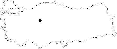
Region:
|
Central Anatolia | |||||
|
Province:
|
Ankara | |||||
|
District:
|
Merkez | |||||
|
Village:
|
Karaoglan | |||||
|
|
||||||
|
Destruction :
|
Contemporary Settlements | |||||
|
|
||||||
|
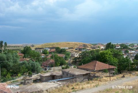
TAYEx:
|
Visited - 8/7/2002 | |||||
|
|
||||||
|
Registration State:
|
For detailed registration information please refer to Turkish pages. | |||||
 |
||||||
| Location: It is located to the Karaoglan Village; close to the southeastern end of the Lake Mogan; 25 km south of the Ankara Province. |
| Geography and Environment: It is located where the trade roads running to the southwest and southeast from Ankara intersect in a watery valley. It is an oval hill measuring 18-20 m in height and 260x180 m in dimensions. It has been severely destroyed by the local villagers removing the stones [Arik 1939:27]. |
| Destruction Details: The mound is being destructed by contemporary settlement. The north skirt of the mound has been cut; soil taken from southeast part and houses built on west skirt [TAYEx 8.7.2002]. |