| ©The Archaeological Settlements of Turkey - TAY Project | ||||||
|
|
||||||
Karahöyük |
||||||
|
|
||||||
| Ages | Maps | Photos | ||||
| Chalcolithic EBA |
 |
 |
||||
|
|
||||||
|
Type:
|
Mound | |||||
|
Altitude:
|
520 m | |||||
|
Diameter:
|
m- Direction: | |||||
|
|
||||||
|
Region:
|
Southeastern Anatolia | |||||
|
Province:
|
Adiyaman | |||||
|
District:
|
Merkez | |||||
|
Village:
|
Güzelyurt | |||||
|
|
||||||
|
Destruction :
|
Agriculture - Contemporary Settlements | |||||
|
|
||||||
|
TAYEx:
|
Visited - 25/9/2001 | |||||
|
|
||||||
|
Registration State:
|
Registered For detailed registration information please refer to Turkish pages. | |||||
 |
||||||
| Location: |
| Geography and Environment: |
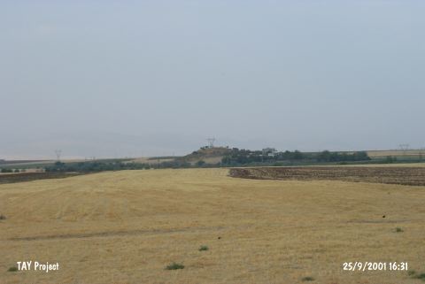
| Destruction Details: The site of Karahöyük is destructed by agricultural and constructing activities. There is a high voltage power tower on the mound and on south-southwest skirt a farm and an apartment are situated. The east slope of the mound is cut and built a water reservoir. The upper surface is partly planted and the southwest section is being used as a field [TAYEx 25.9.2001]. There are several modern houses on the west skirts of the mound. Also, a great number of fox burrows were seen on the settlement [Ezer et al. 2015:178]. |