| ©The Archaeological Settlements of Turkey - TAY Project | ||||||
|
|
||||||
Karadut Mevkii |
||||||
|
|
||||||
| Ages | Maps | Photos | ||||
| Chalcolithic |
 |
 |
||||
|
|
||||||
|
Type:
|
Flat Settlement | |||||
|
Altitude:
|
410 m | |||||
|
Diameter:
|
m- Direction: | |||||
|
|
||||||
|
Region:
|
Southeastern Anatolia | |||||
|
Province:
|
Adiyaman | |||||
|
District:
|
Samsat | |||||
|
Village:
|
Hardiyan | |||||
|
|
||||||
|
Destruction :
|
Dams | |||||
|
|
||||||
|
TAYEx:
|
Not visited - 29/8/2001 | |||||
|
|
||||||
|
Registration State:
|
For detailed registration information please refer to Turkish pages. | |||||
 |
||||||
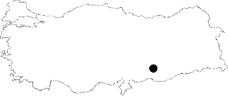
| Location: The site lied southeast of Adiyaman; on the Hardiyan-Halilan Road; near the bank of Euphrates; 2 km away from Gritille; and 10 km from Samsat. It is labeled as No: 82-GR-5 at the Gritille Survey. The location code of the site is T 51 / 33. |
| Geography and Environment: Located in Karababa basin; near the bank of Euphrates; the mound lies between Hederm Creek and a fresh water spring to the south. It is a plain site covering an area of 2 hectares. |
| Destruction Details: The site is flooded by dam reservoir today [TAYEx 29.8.2001]. |