| ©The Archaeological Settlements of Turkey - TAY Project | ||||||
|
|
||||||
Kalaycik |
||||||
|
|
||||||
| Ages | Maps | Photos | ||||
| EBA |
 |
 |
||||
|
|
||||||
|
Type:
|
Flat Settlement | |||||
|
Altitude:
|
700 m | |||||
|
Diameter:
|
m- Direction: | |||||
|
|
||||||
|
Region:
|
Eastern Anatolia | |||||
|
Province:
|
Elazig | |||||
|
District:
|
Agin | |||||
|
Village:
|
Asagiyabanli | |||||
|
|
||||||
|
Destruction :
|
Dams | |||||
|
|
||||||
|
TAYEx:
|
Not visited - 16/7/2003 | |||||
|
|
||||||
|
Registration State:
|
For detailed registration information please refer to Turkish pages. | |||||
 |
||||||
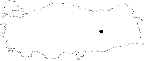
| Location: It was located on the eastern bank of the Arapkir Stream across the Asagiyabanli Village of Agin District; northwest of the Elazig Province. The village was situated 7.5 km northwest of Agin as the crow flies. It is supposed to be flooded by the Keban Dam. Flat settlement of Kalaycik is sometimes confused with Kalecik Höyügü. |
| Geography and Environment: It was a flat settlement located on a long outcrop; steep in three sides; extending to the Arapkir Stream. Cultural deposit was not thick. Inhabitants probably supplied their water from the stream. Kökten reports that the site was naturally guarded by three sides [Kökten 1974:2;pl.4/1-2]. |
| Destruction Details: |