| ©The Archaeological Settlements of Turkey - TAY Project | ||||||
|
|
||||||
Alikirpun 1 / Girmakara 1 |
||||||
|
|
||||||
| Ages | Maps | Photos | ||||
| EBA IA |
 |
 |
||||
|
|
||||||
|
Type:
|
Mound | |||||
|
Altitude:
|
1400 m | |||||
|
Diameter:
|
150 m- Direction: S-N | |||||
|
|
||||||
|
Region:
|
Eastern Anatolia | |||||
|
Province:
|
Mus | |||||
|
District:
|
Korkut | |||||
|
Village:
|
Kocatarla | |||||
|
|
||||||
|
Destruction :
|
Illicit Digging - Agriculture | |||||
|
|
||||||
|
TAYEx:
|
Visited - 11/7/2003 | |||||
|
|
||||||
|
Registration State:
|
For detailed registration information please refer to Turkish pages. | |||||
 |
||||||
| Location: |
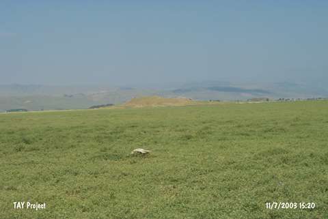
| Geography and Environment: |
| Destruction Details: Illicit digging and agricultural activities have damaged the mound. All of the skirts are being planted; southeast part has been terraced and north slope has been cut steeply. There have been approximately 10 pits seen on top hill and south slope of the mound. The pits are rather wide and deep [TAYEx 11.7.2003]. |