| ©The Archaeological Settlements of Turkey - TAY Project | ||||||
|
|
||||||
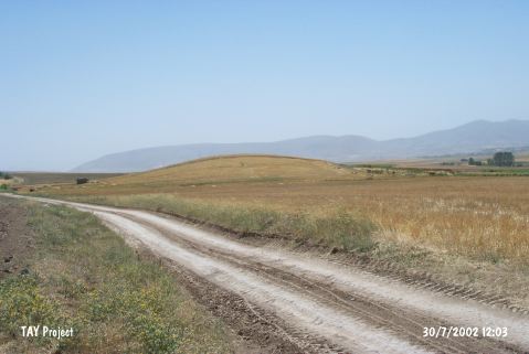
Isahocali Höyük |
||||||
|
|
||||||
| Ages | Maps | Photos | ||||
| EBA IA |
 |
 |
||||
|
|
||||||
|
Type:
|
Mound | |||||
|
Altitude:
|
1220 m | |||||
|
Diameter:
|
m- Direction: | |||||
|
|
||||||
|
Region:
|
Central Anatolia | |||||
|
Province:
|
Kirsehir | |||||
|
District:
|
Kaman | |||||
|
Village:
|
Isahocali | |||||
|
|
||||||
|
Destruction :
|
Agriculture | |||||
|
|
||||||
|
TAYEx:
|
Visited - 30/7/2002 | |||||
|
|
||||||
|
Registration State:
|
For detailed registration information please refer to Turkish pages. | |||||
 |
||||||
| Location: |
| Geography and Environment: |
| Destruction Details: The east-southeast skirt of the mound is being planted and south-southwest skirt is cut [TAYEx 30.7.2002]. |