| ©The Archaeological Settlements of Turkey - TAY Project | ||||||
|
|
||||||
Imikusagi |
||||||
|
|
||||||
| Ages | Maps | Photos | ||||
| Chalcolithic EBA IA |
 |
 |
||||
|
|
||||||
|
Type:
|
Mound | |||||
|
Altitude:
|
m | |||||
|
Diameter:
|
m- Direction: | |||||
|
|
||||||
|
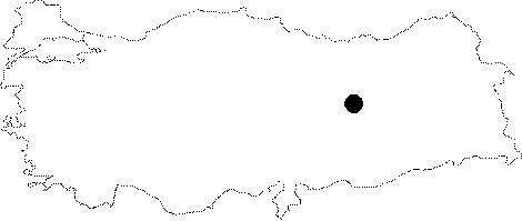
Region:
|
Eastern Anatolia | |||||
|
Province:
|
Elazig | |||||
|
District:
|
Baskil | |||||
|
Village:
|
Imikusagi | |||||
|
|
||||||
|
Destruction :
|
Dams | |||||
|
|
||||||
|
TAYEx:
|
Not visited - 15/8/2003 | |||||
|
|
||||||
|
Registration State:
|
For detailed registration information please refer to Turkish pages. | |||||
 |
||||||
| Location: It is located on the northwestern edge of the Imikusagi (Malhasan) Village in the Baskil District of Elazig. |
| Geography and Environment: Situated on the eastern bank of the Euphrates, it lies across the confluence of the Tahma Brook with the Euphrates. It is suitable for crossing over, and it was also probably for this purpose during the ancient period. |
| Destruction Details: The mound is flooded by dam reservoir [TAYEx 15.8.2003]. |