| ©The Archaeological Settlements of Turkey - TAY Project | ||||||
|
|
||||||
Isikli |
||||||
|
|
||||||
| Ages | Maps | Photos | ||||
| EBA |
 |
 |
||||
|
|
||||||
|
Type:
|
Mound | |||||
|
Altitude:
|
825 m | |||||
|
Diameter:
|
266 m- Direction: NE-SW | |||||
|
|
||||||
|
Region:
|
Aegean | |||||
|
Province:
|
Denizli | |||||
|
District:
|
Çivril | |||||
|
Village:
|
Isikli | |||||
|
|
||||||
|
Destruction :
|
Agriculture | |||||
|
|
||||||
|
TAYEx:
|
Visited - 17/7/2004 | |||||
|
|
||||||
|
Registration State:
|
For detailed registration information please refer to Turkish pages. | |||||
 |
||||||
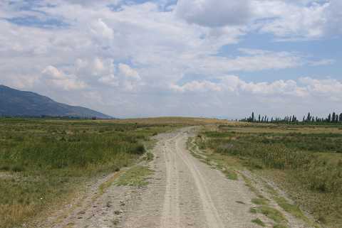
| Location: |
| Geography and Environment: |
| Destruction Details: The northern skirts of the mound have been damaged due to agricultural activities [TAYEx 17.7.2004]. |