| ©The Archaeological Settlements of Turkey - TAY Project | ||||||
|
|
||||||
Hüyük 6 |
||||||
|
|
||||||
| Ages | Maps | Photos | ||||
| EBA IA |
 |
 |
||||
|
|
||||||
|
Type:
|
Mound | |||||
|
Altitude:
|
1445 m | |||||
|
Diameter:
|
140 m- Direction: W-E | |||||
|
|
||||||
|
Region:
|
Central Anatolia | |||||
|
Province:
|
Nigde | |||||
|
District:
|
Merkez | |||||
|
Village:
|
Hüyük | |||||
|
|
||||||
|
Destruction :
|
Natural causes - Agriculture - Contemporary Settlements - Highways, roads, bridges etc. | |||||
|
|
||||||
|
TAYEx:
|
Visited - 8/8/2002 | |||||
|
|
||||||
|
Registration State:
|
Registered For detailed registration information please refer to Turkish pages. | |||||
 |
||||||
| Location: |
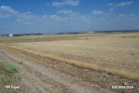
| Geography and Environment: |
| Destruction Details: Soil removed from southern slope of the mound and a road cut the skirt; the cemetery of the village and storage hut take place on western part; railway crosses northern skirt and eastern skirt is planted. Addition to these surface of the mound has been disturbed by the rain [TAYEx 8.8.2002]. |