| ©The Archaeological Settlements of Turkey - TAY Project | ||||||
|
|
||||||
Hayyim Tepe |
||||||
|
|
||||||
| Ages | Maps | Photos | ||||
| EBA IA |
 |
 |
||||
|
|
||||||
|
Type:
|
Mound | |||||
|
Altitude:
|
700 m | |||||
|
Diameter:
|
120 m- Direction: W-E | |||||
|
|
||||||
|
Region:
|
Eastern Anatolia | |||||
|
Province:
|
Malatya | |||||
|
District:
|
Yazihan | |||||
|
Village:
|
Tecirli | |||||
|
|
||||||
|
Destruction :
|
Contemporary Settlements - Highways, roads, bridges etc. | |||||
|
|
||||||
|
TAYEx:
|
Visited - 22/7/2003 | |||||
|
|
||||||
|
Registration State:
|
For detailed registration information please refer to Turkish pages. | |||||
 |
||||||
| Location: |
| Geography and Environment: |
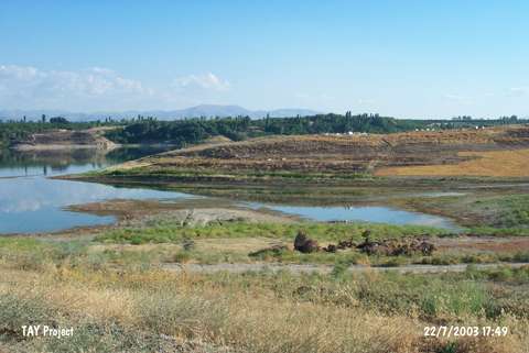
| Destruction Details: The mound has been damaged by dam reservoir which surrounds it in three directions and by the cemetery on top hill [TAYEx 22.7.2003]. |