| ©The Archaeological Settlements of Turkey - TAY Project | ||||||
|
|
||||||
Hayaz Höyük |
||||||
|
|
||||||
| Ages | Maps | Photos | ||||
| Neolithic Chalcolithic EBA IA 14C |
 |
 |
||||
|
|
||||||
|
Type:
|
Mound | |||||
|
Altitude:
|
380 m | |||||
|
Diameter:
|
m- Direction: | |||||
|
|
||||||
|
Region:
|
Southeastern Anatolia | |||||
|
Province:
|
Adiyaman | |||||
|
District:
|
Samsat | |||||
|
Village:
|
Hayaz | |||||
|
|
||||||
|
Destruction :
|
Dams | |||||
|
|
||||||
|
TAYEx:
|
Not visited - 29/8/2001 | |||||
|
|
||||||
|
Registration State:
|
For detailed registration information please refer to Turkish pages. | |||||
 |
||||||
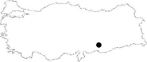
| Location: This site lay south of the city of Adiyaman; 17 km west of the town of Samsat; and beneath the village of Hayaz; which has since been flooded by the Atatürk Dam Lake. It was very difficult to reach this village before it was flooded by the dam lake. The road from Samsat used to end at Kalburcu Stream. |
| Geography and Environment: Before the Atatürk Dam Lake was formed; this mound-site lay at the confluence of the Euphrates and Kalburcu Stream. The mound was on the flanks of a natural hill known as Herik Tepe along the Euphrates. The village of Hayaz was located on the western and southern fringes of the mound. The modern inhabitants of this village resorted to the mound for stone and soil and partially destroyed it. It is 9 m high and has a base diameter of 90 m. Since there are no springs in the nearby vicinity; the inhabitants of this site must have used both Kalburcu Stream and the Euphrates as their water supply. |
| Destruction Details: The site is flooded by dam reservoir today [TAYEx 29.8.2001]. |