| ©The Archaeological Settlements of Turkey - TAY Project | ||||||
|
|
||||||
Hasattepe |
||||||
|
|
||||||
| Ages | Maps | Photos | ||||
| EBA |
 |
 |
||||
|
|
||||||
|
Type:
|
Mound | |||||
|
Altitude:
|
50 m | |||||
|
Diameter:
|
m- Direction: | |||||
|
|
||||||
|
Region:
|
Aegean | |||||
|
Province:
|
Aydin | |||||
|
District:
|
Germencik | |||||
|
Village:
|
Kizilcapinar | |||||
|
|
||||||
|
Destruction :
|
Illicit Digging - Agriculture - Contemporary Settlements - Attention | |||||
|
|
||||||
|
TAYEx:
|
Visited - 21/9/2000 | |||||
|
|
||||||
|
Registration State:
|
Registered For detailed registration information please refer to Turkish pages. | |||||
 |
||||||
| Location: |
| Geography and Environment: |
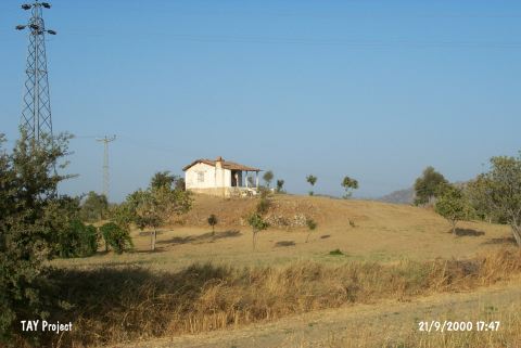
| Destruction Details: The mound has been severely damaged by numerous illicit digger pits. There is also a pit dug below the floor of the house built on top of the mound. Its skirts were cut for agricultural purposes [TAYEx 21.9.2000]. |