| ©The Archaeological Settlements of Turkey - TAY Project | ||||||
|
|
||||||
Hankendi |
||||||
|
|
||||||
| Ages | Maps | Photos | ||||
| EBA |
 |
 |
||||
|
|
||||||
|
Type:
|
Mound | |||||
|
Altitude:
|
1160 m | |||||
|
Diameter:
|
160 m- Direction: NW-SE | |||||
|
|
||||||
|
Region:
|
Eastern Anatolia | |||||
|
Province:
|
Elazig | |||||
|
District:
|
Merkez | |||||
|
Village:
|
Hankendi | |||||
|
|
||||||
|
Destruction :
|
Illicit Digging | |||||
|
|
||||||
|
TAYEx:
|
Visited - 13/7/2003 | |||||
|
|
||||||
|
Registration State:
|
Registered For detailed registration information please refer to Turkish pages. | |||||
 |
||||||
| Location: |
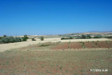
| Geography and Environment: |
| Destruction Details: The mound has been damaged by illicit digging. Soli taken from its north-northwest skirt and this formed a big section. All of the skirts are being planted and the eastern one is cut by railroad. There are pits on all over the mound [TAYEx 13.7.2003]. |