| ©The Archaeological Settlements of Turkey - TAY Project | ||||||
|
|
||||||
Hacirahmanli |
||||||
|
|
||||||
| Ages | Maps | Photos | ||||
| Chalcolithic EBA |
 |
 |
||||
|
|
||||||
|
Type:
|
Mound | |||||
|
Altitude:
|
40 m | |||||
|
Diameter:
|
m- Direction: | |||||
|
|
||||||
|
Region:
|
Aegean | |||||
|
Province:
|
Manisa | |||||
|
District:
|
Saruhanli | |||||
|
Village:
|
Hacirahmanli | |||||
|
|
||||||
|
Destruction :
|
Agriculture - Contemporary Settlements - Attention | |||||
|
|
||||||
|
TAYEx:
|
Visited - 11/9/2000 | |||||
|
|
||||||
|
Registration State:
|
For detailed registration information please refer to Turkish pages. | |||||
 |
||||||
| Location: |
| Geography and Environment: |
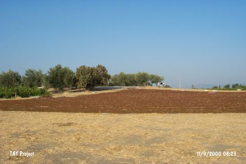
| Destruction Details: On the southern section of the mound is a concrete platform of about 300 square meters which is used for spreading grapes. Immediately south of the platform is a one floored mudbrick house. The western section of the settlement has been terraced to plant olive trees [TAYEx 11.9.2000]. |