| ©The Archaeological Settlements of Turkey - TAY Project | ||||||
|
|
||||||
Gümüsova 1 |
||||||
|
|
||||||
| Ages | Maps | Photos | ||||
| EBA |
 |
 |
||||
|
|
||||||
|
Type:
|
Mound | |||||
|
Altitude:
|
70 m | |||||
|
Diameter:
|
m- Direction: | |||||
|
|
||||||
|
Region:
|
Aegean | |||||
|
Province:
|
Izmir | |||||
|
District:
|
Bergama | |||||
|
Village:
|
Kasikci | |||||
|
|
||||||
|
Destruction :
|
Illicit Digging | |||||
|
|
||||||
|
TAYEx:
|
Visited - 8/9/2000 | |||||
|
|
||||||
|
Registration State:
|
For detailed registration information please refer to Turkish pages. | |||||
 |
||||||
| Location: |
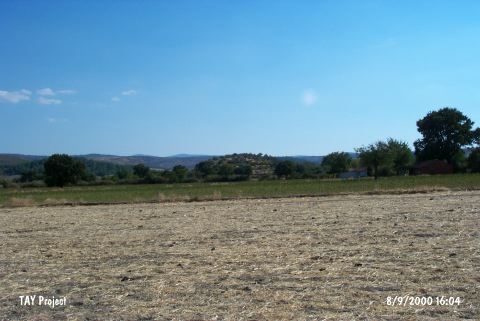
| Geography and Environment: |
| Destruction Details: The eastern and northeastern sections of the settlement are damaged due to illicit diggings [TAYEx 8.9.2000]. Olive trees were planted on the mound [Pirson-Horejs 2014:303]. |