| ©The Archaeological Settlements of Turkey - TAY Project | ||||||
|
|
||||||
Gri Memo Mevkii |
||||||
|
|
||||||
| Ages | Maps | Photos | ||||
| Palaeolithic/Epipalaeolithic |
 |
 |
||||
|
|
||||||
|
Type:
|
Habitation Site / Workshop | |||||
|
Altitude:
|
m | |||||
|
Diameter:
|
m- Direction: | |||||
|
|
||||||
|
Region:
|
Southeastern Anatolia | |||||
|
Province:
|
Adiyaman | |||||
|
District:
|
Samsat | |||||
|
Village:
|
Balcilar | |||||
|
|
||||||
|
Destruction :
|
Dams | |||||
|
|
||||||
|
TAYEx:
|
Not visited - 29/8/2001 | |||||
|
|
||||||
|
Registration State:
|
Registered For detailed registration information please refer to Turkish pages. | |||||
 |
||||||
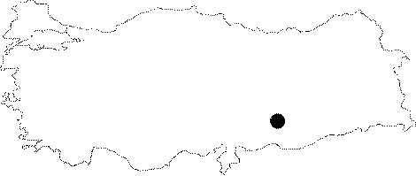
| Location: This site was south-southeast of Adiyaman; 5 km west-southwest of Samsat and about 2.700 m west of the village of Balcilar (Sinan Kantara). Before it was submerged under the Atatürk Dam Lake in 1992; the site lay on a hillock known as Gri Memo Tepesi; immediately north of the Kantara-Berferat highway and west of the Zeril Stream. Its code is T 50 / 19. |
| Geography and Environment: The Gri Memo Tepesi; which was conical in shape; had many gullies carved by streams on its flanks. Chipped stone tools and fragments of tools were found especially on the eastern flank. Although the density of tools was low; it is assumed that the hill was used as a temporary habitation area or campsite. |
| Destruction Details: The site is flooded by dam reservoir today [TAYEx 29.8.2001]. |