| ©The Archaeological Settlements of Turkey - TAY Project | ||||||
|
|
||||||
Aksehir |
||||||
|
|
||||||
| Ages | Maps | Photos | ||||
| EBA |
 |
 |
||||
|
|
||||||
|
Type:
|
Mound | |||||
|
Altitude:
|
1095 m | |||||
|
Diameter:
|
196 m- Direction: E-W | |||||
|
|
||||||
|
Region:
|
Central Anatolia | |||||
|
Province:
|
Konya | |||||
|
District:
|
Aksehir | |||||
|
Village:
|
Merkez | |||||
|
|
||||||
|
Destruction :
|
Agriculture - Contemporary Settlements - Attention | |||||
|
|
||||||
|
TAYEx:
|
Visited - 6/9/2002 | |||||
|
|
||||||
|
Registration State:
|
For detailed registration information please refer to Turkish pages. | |||||
 |
||||||
| Location: |
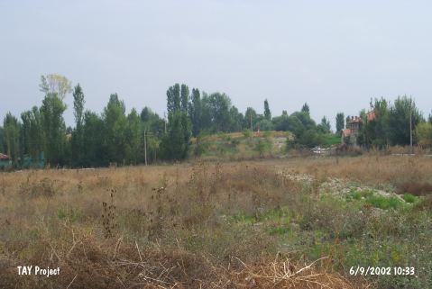
| Geography and Environment: |
| Destruction Details: It has been damaged due to agricultural activities and contemporary settlement. It is completely planted and lost altitude because of plowing. There houses on its northern and southern skirts [TAYEx 6.9.2002]. |