| ©The Archaeological Settlements of Turkey - TAY Project | ||||||
|
|
||||||
262 Cintepe 2 |
||||||
|
|
||||||
| Ages | Maps | Photos | ||||
| EBA |
 |
 |
||||
|
|
||||||
|
Type:
|
Mound | |||||
|
Altitude:
|
790 m | |||||
|
Diameter:
|
100 m- Direction: N-S | |||||
|
|
||||||
|
Region:
|
Black Sea | |||||
|
Province:
|
Samsun | |||||
|
District:
|
Havza | |||||
|
Village:
|
Güvercinlik | |||||
|
|
||||||
|
Destruction :
|
Agriculture - Contemporary Settlements - Attention | |||||
|
|
||||||
|
TAYEx:
|
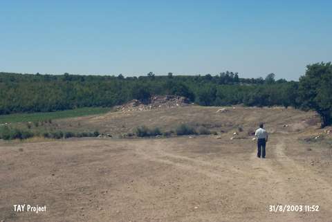
Visited - 31/8/2003 | |||||
|
|
||||||
|
Registration State:
|
For detailed registration information please refer to Turkish pages. | |||||
 |
||||||
| Location: |
| Geography and Environment: |
| Destruction Details: Soil was removed from the mound in order to use for the construction of the dam. Its southeastern skirt is being cultivated [TAYEx 31.8.2003]. |