|
©The Archaeological Settlements of Turkey - TAY Project
|
|
|
|
|
|
Furuncu |
|
|
For site maps and drawings please click on the picture...  |
For photographs please click on the photo... 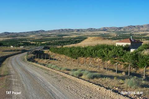 |
|
Type:
|
Mound |
|
Altitude:
|
915 m |
|
Region:
|
Eastern Anatolia |
|
Province:
|
Malatya |
|
District:
|
Merkez |
|
Village:
|
Furuncu |
|
Investigation Method:
|
Survey |
|
Period:
|
Late |
|
|
|
 |
|
| The ovoid; 200x100 m mound; measuring 15 m in height; lies approximately 15 km east of the city of Malatya; 1 km north-northeast of Furuncu Village. It was cut by Malatya-Elazig road at the southwestern part. Remains of walls are observed at the section. A survey was conducted by C.A. Burney in 1956. According to H.F. Russell; the sherds are of chaff-faced burnished ware; and presumed to be belonging to the Late Chalcolithic Age. On the contrary; Burney claims that the mound is not one of the Chalcolithic Age sites. Therefore; Furuncu is a debatable site for this period. Meriggi; French and Mitford have also visited the site. It takes place in the registered archaeological sites list prepared by Ministry of Culture and Tourism. |
| Location: |
| Geography and Environment: |
| History: |
| Research and Excavation: |
| Stratigraphy: |
| Small Finds: |
| Remains: |
| Interpretation and Dating: |