|
©The Archaeological Settlements of Turkey - TAY Project
|
|
|
|
|
|
Firislik |
|
|
For site maps and drawings please click on the picture...  |
For photographs please click on the photo... 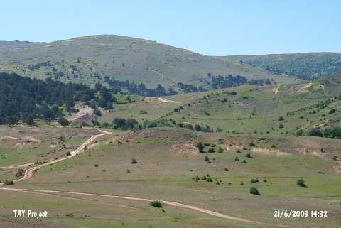 |
|
Type:
|
Mound |
|
Altitude:
|
1470 m |
|
Region:
|
Black Sea |
|
Province:
|
Ordu |
|
District:
|
Mesudiye |
|
Village:
|
Abdili |
|
Investigation Method:
|
Survey |
|
Period:
|
|
|
|
|
 |
|
| It stands on a natural hill; west of the Derebasi-Abdili plateau road; 1.5 km southeast of the Firislik Quarter of Abdili Village; south of Ordu Province. It was discovered during the 1992 Ordu-Mesudiye survey conducted by M. Özsait. It measures ca. 100x70 m in dimensions. The western part has been destroyed by a bulldozer. Exteriorly and interiorly brown washed EBA pottery with a brown paste was collected from the surface. |
| Location: |
| Geography and Environment: |
| History: |
| Research and Excavation: |
| Stratigraphy: |
| Small Finds: |
| Remains: |
| Interpretation and Dating: |