|
©The Archaeological Settlements of Turkey - TAY Project
|
|
|
|
|
|
Firaktin |
|
|
For site maps and drawings please click on the picture...  |
For photographs please click on the photo... 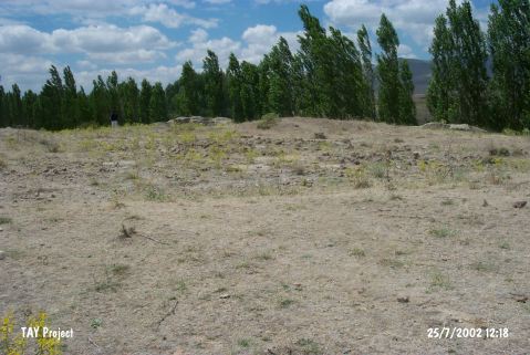 |
|
Type:
|
Upland Settlement |
|
Altitude:
|
1320 m |
|
Region:
|
Central Anatolia |
|
Province:
|
Kayseri |
|
District:
|
Develi |
|
Village:
|
Gümüsören |
|
Investigation Method:
|
Excavation |
|
Period:
|
|
|
|
|
 |
|
| The site; discovered by K. Bittel in 1939 and excavated by Özgüc in 1947; lies south of the city of Kayseri; north of Firaktin village; 300 m east of the stone relief on which Hattushili III and his wife Puduhepa are depicted during a ritual. The deposition layer of the settlement is 10-30 cm thick. Two Ubaid; dark crème pasted and slipped; dark brown painted sherds made on tournette; contemporary with Yumuktepe XII B; were found among the finds of the EBA building. It is not understood either these are secondary finds or not. |
| Location: |
| Geography and Environment: |
| History: |
| Research and Excavation: |
| Stratigraphy: |
| Small Finds: |
| Remains: |
| Interpretation and Dating: |