|
©The Archaeological Settlements of Turkey - TAY Project
|
|
|
|
|
|
Eylik Pöyresi |
|
|
For site maps and drawings please click on the picture...  |
For photographs please click on the photo... 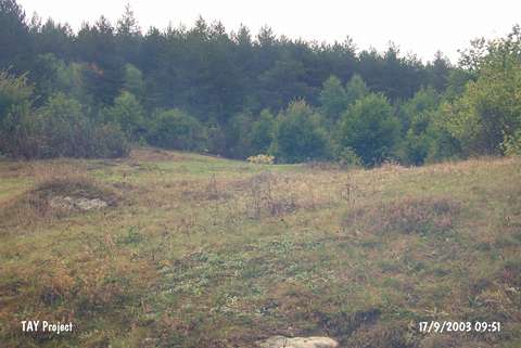 |
|
Type:
|
Mound |
|
Altitude:
|
1140 m |
|
Region:
|
Black Sea |
|
Province:
|
Kastamonu |
|
District:
|
Tasköprü |
|
Village:
|
Köçekli |
|
Investigation Method:
|
Survey |
|
Period:
|
|
|
|
|
 |
|
| The mound is located in Köcekli village; southeast of Tasköprü district of the city of Kastamonu. It lies to the south-southeast of the village of Yogunoluk; northeast of Eylik Pöyresi stream. It was discovered during the Kastamonu Survey conducted by A. Özdogan; C. Marro; A. Tibet in 1996. Chalcolithic Age / Early Bronze Age 1 ceramics were collected from the surface. The location code of the site is C 34 / 8. |
| Location: |
| Geography and Environment: |
| History: |
| Research and Excavation: |
| Stratigraphy: |
| Small Finds: |
| Remains: |
| Interpretation and Dating: |