|
©The Archaeological Settlements of Turkey - TAY Project
|
|
|
|
|
|
Eylekderesi |
|
|
For site maps and drawings please click on the picture...  |
For photographs please click on the photo... 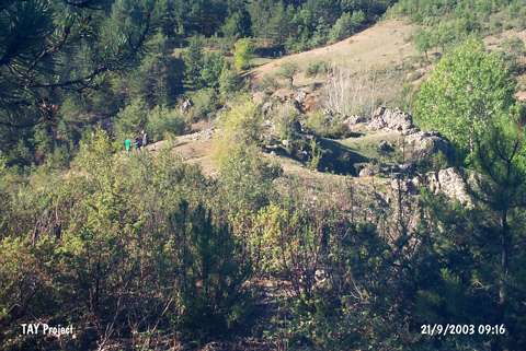 |
|
Type:
|
Slope Settlement |
|
Altitude:
|
750 m |
|
Region:
|
Black Sea |
|
Province:
|
Kastamonu |
|
District:
|
Araç |
|
Village:
|
Çubukludere |
|
Investigation Method:
|
Survey |
|
Period:
|
EBA I |
|
|
|
 |
|
| It lies 900 m south of Çubukludere Village; east of Kastamonu Province. It was discovered in 1996 during the Kastamonu Survey conducted by A. Özdogan; C. Marro and A. Tibet. Pottery dating from the EBA I and the second millennium BC was collected from an area covering 100x70 m located on a rocky slope; east of the Eylekderesi stream. |
| Location: |
| Geography and Environment: |
| History: |
| Research and Excavation: |
| Stratigraphy: |
| Small Finds: |
| Remains: |
| Interpretation and Dating: |