|
©The Archaeological Settlements of Turkey - TAY Project
|
|
|
|
|
|
Evregi 2 |
|
|
For site maps and drawings please click on the picture...  |
For photographs please click on the photo... 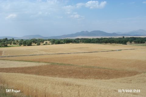 |
|
Type:
|
Mound |
|
Altitude:
|
1053 m |
|
Region:
|
Central Anatolia |
|
Province:
|
Konya |
|
District:
|
Seydisehir |
|
Village:
|
Irmakli |
|
Investigation Method:
|
Survey |
|
Period:
|
Early |
|
|
|
 |
|
| The small mound lies 1.2 km away from Irmakli Village; north of Seydisehir District; southwest of Konya Province. The site was discovered during the survey; which aimed to record the prehistoric sites of Southern Anatolia; conducted by J. Mellaart in 1952-54. He reports a painted sherd on the mound named Evregi II; belonging to the Chalcolithic Age. On the other hand; he mentions a site named Eregli Höyük; probably by mistake. In ASPRO; the existence of the site Eregli is accepted. |
| Location: |
| Geography and Environment: |
| History: |
| Research and Excavation: |
| Stratigraphy: |
| Small Finds: |
| Remains: |
| Interpretation and Dating: |