|
©The Archaeological Settlements of Turkey - TAY Project
|
|
|
|
|
|
Eskiler |
|
|
For site maps and drawings please click on the picture...  |
For photographs please click on the photo... 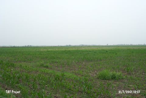 |
|
Type:
|
Mound |
|
Altitude:
|
80 m |
|
Region:
|
Mediterranean |
|
Province:
|
Adana |
|
District:
|
Merkez |
|
Village:
|
Eskiler |
|
Investigation Method:
|
Survey |
|
Period:
|
|
|
|
|
 |
|
| It lies approximately 2 km south of Eksiler Village; 19 km northeast of Ceyhan; northeast of Adana Province. It is a small mound; 6 m high. It has been severely damaged by the adjacent building. It was discovered during the Cilicia Survey conducted under M.V. Seton Williams in 1951. Sherds dating from the Hittite and Hellenistic Period were collected from the surface in addition to the EBA sherds (straw-tempered ware). |
| Location: |
| Geography and Environment: |
| History: |
| Research and Excavation: |
| Stratigraphy: |
| Small Finds: |
| Remains: |
| Interpretation and Dating: |