|
©The Archaeological Settlements of Turkey - TAY Project
|
|
|
|
|
|
Enerli Mevkii |
|
|
For site maps and drawings please click on the picture... 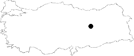 |
For photographs please click on the photo...  |
|
Type:
|
Habitation Site / Workshop |
|
Altitude:
|
m |
|
Region:
|
Eastern Anatolia |
|
Province:
|
Elazig |
|
District:
|
Keban |
|
Village:
|
|
|
Investigation Method:
|
Survey |
|
Period:
|
AP OP |
|
|
|
 |
|
| Location: This site; now flooded by the Keban Dam Lake lies northwest of the city of Elazig; about 8-9 km northwest of the town of Keban. The site was at the Enerli Çiftligi Farm; 1.5 km; as the crow flies; north of the Arapkir Stream and 3 km south of the town of Agin. |
| Geography and Environment: It is difficult to locate this site geographically because of the lack of information. The above map shows an approximate location. |
| History: |
| Research and Excavation: This site was discovered by I.K. Kökten during his 1971 Erzincan-Tunceli survey of sites expected to be submerged by the Keban Dam Lake. |
| Stratigraphy: |
| Small Finds: Kökten named this site; where several Lower Palaeolithic tools were found; Enerli Mevkii. The tools include notched palm-shaped scrapers with one straight edge; rough triangular points; and large scrapers on blades. It is also reported that some of the styles resemble Middle Palaeolithic types [Kökten 1971a:15; fig.16/2 and Kökten 1971b:130; fig. 9]. |
| Remains: |
| Interpretation and Dating: |