|
©The Archaeological Settlements of Turkey - TAY Project
|
|
|
|
|
|
Emre Mevkii |
|
|
For site maps and drawings please click on the picture...  |
For photographs please click on the photo... 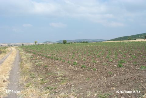 |
|
Type:
|
Mound |
|
Altitude:
|
193 m |
|
Region:
|
Marmara |
|
Province:
|
Balikesir |
|
District:
|
Merkez |
|
Village:
|
Aslihan |
|
Investigation Method:
|
Survey |
|
Period:
|
Late |
|
|
|
 |
|
| The small mound lies southeast of Balikesir; 2.5 km south of Aslihan village. It is located in the southern edge of a plain. To its south are high hills and to north flows a stream. It was discovered during the Balikesir Survey conducted by M. Özdogan in 1987. Chalcolithic Age; EBA; LBA and Classical Period ceramics were collected from the surface. There is not any detailed information. The location code of the site is K 9 / 10. It was visited during the survey conducted by D. Yalçikli and his team in 2015. It was named as İgrek Höyük [Yalçikli 2017:420]. |
| Location: |
| Geography and Environment: |
| History: |
| Research and Excavation: |
| Stratigraphy: |
| Small Finds: |
| Remains: |
| Interpretation and Dating: |