|
©The Archaeological Settlements of Turkey - TAY Project
|
|
|
|
|
|
Emircik |
|
|
For site maps and drawings please click on the picture...  |
For photographs please click on the photo... 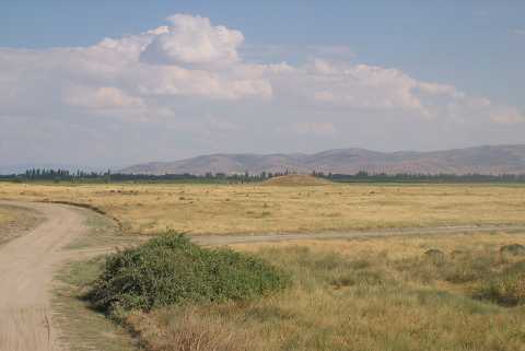 |
|
Type:
|
Mound |
|
Altitude:
|
820 m |
|
Region:
|
Aegean |
|
Province:
|
Denizli |
|
District:
|
Çivril |
|
Village:
|
Emirhisar |
|
Investigation Method:
|
Survey |
|
Period:
|
EBA II |
|
|
|
 |
|
| It is east of Emirhisar Village; 6 km southeast of Çivril; northeast of Denizli Province. It was discovered by J. Mellaart. It is an EBA II settlement. The mound is locally known as Emirhisar Yassihöyük. To the southwest and southeast are the tumuli known as Cenklimera and Ömeroglu. |
| Location: |
| Geography and Environment: |
| History: |
| Research and Excavation: |
| Stratigraphy: |
| Small Finds: |
| Remains: |
| Interpretation and Dating: |