|
©The Archaeological Settlements of Turkey - TAY Project
|
|
|
|
|
|
Sarkisla Merkez Höyük |
|
|
For site maps and drawings please click on the picture...  |
For photographs please click on the photo... 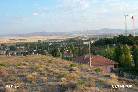 |
|
Type:
|
Mound |
|
Altitude:
|
1350 m |
|
Region:
|
Central Anatolia |
|
Province:
|
Sivas |
|
District:
|
Sarkisla |
|
Village:
|
Merkez |
|
Investigation Method:
|
Survey |
|
Period:
|
Early Iron Age Middle Iron Age Late Iron Age |
|
|
|
 |
|
| The gypsum hill on which the district of Sarkisla was founded has been destroyed on the southern section by a tea garden, on the northern section by a water tank, and on the eastern and western sections by removal of soil and housing activities. The settlement area has a length of 100 m including the slopes. The finds include sherds dating to the Roman and Byzantine Periods around the water tank, painted Iron Age sherds on the eastern and southern slopes, and painted Chalcolithic Age sherds on the southwestern slope. |
| Location: |
| Geography and Environment: |
| History: |
| Research and Excavation: |
| Stratigraphy: |
| Small Finds: |
| Remains: |
| Interpretation and Dating: |