|
©The Archaeological Settlements of Turkey - TAY Project
|
|
|
|
|
|
Kabayar Höyük |
|
|
For site maps and drawings please click on the picture...  |
For photographs please click on the photo... 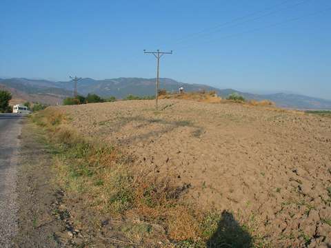 |
|
Type:
|
Mound |
|
Altitude:
|
330 m |
|
Region:
|
Black Sea |
|
Province:
|
Amasya |
|
District:
|
Tasova |
|
Village:
|
Uluköy |
|
Investigation Method:
|
Survey |
|
Period:
|
Late Iron Age |
|
|
|
 |
|
| It rests on a natural elevation lying immediate south of the Hirka Köyü Dam, 3 km north of the Merzifon District in Amasya. With an approximate diameter of 100 m, it has been destroyed due to some eroded sections and illicit diggings. Sherds belonging to the Early Bronze Age and Iron Age settlements were found on the hilltop. |
| Location: |
| Geography and Environment: |
| History: |
| Research and Excavation: |
| Stratigraphy: |
| Small Finds: |
| Remains: |
| Interpretation and Dating: |