|
©The Archaeological Settlements of Turkey - TAY Project
|
|
|
|
|
|
Embil Köy |
|
|
For site maps and drawings please click on the picture...  |
For photographs please click on the photo... 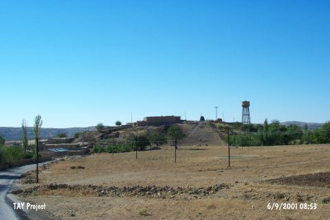 |
|
Type:
|
Mound |
|
Altitude:
|
890 m |
|
Region:
|
Southeastern Anatolia |
|
Province:
|
Diyarbakir |
|
District:
|
Egil |
|
Village:
|
Çavli |
|
Investigation Method:
|
Survey |
|
Period:
|
|
|
|
|
 |
|
| It lies beneath Enbil Village (Çavli); of Diyarbakir Province. It has been completely obscured by the modern village. It was discovered during a survey conducted in 1960. To the north lies a fresh water spring. It measures 75x50 m in dimensions and 5 m in height. It is coded under P 56 / 3. |
| Location: |
| Geography and Environment: |
| History: |
| Research and Excavation: |
| Stratigraphy: |
| Small Finds: |
| Remains: |
| Interpretation and Dating: |