|
©The Archaeological Settlements of Turkey - TAY Project
|
|
|
|
|
|
Gavur Kalesi |
|
|
For site maps and drawings please click on the picture...  |
For photographs please click on the photo... 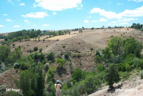 |
|
Type:
|
Mound |
|
Altitude:
|
1010 m |
|
Region:
|
Black Sea |
|
Province:
|
Tokat |
|
District:
|
Zile |
|
Village:
|
Savci |
|
Investigation Method:
|
Survey |
|
Period:
|
|
|
|
|
 |
|
| It is located on the bank of the Gödellez Stream, 2 km southeast of the Savci Village, 14 km southwest of Zile. It has a diameter of 70 m, with a height of 65 m above the stream level. It has been heavily destroyed due to illicit diggings. Sherds from the Late Chalcolithic Age, Early Bronze Age, 2nd Millennium BC, Iron Age and Roman Period settlements are observed on the surface. |
| Location: |
| Geography and Environment: |
| History: |
| Research and Excavation: |
| Stratigraphy: |
| Small Finds: |
| Remains: |
| Interpretation and Dating: |